This line of action counted with the intervention of Tesselo and ForestWISE.
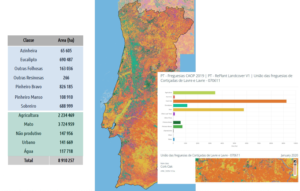
A first approach to the forest occupation map was made using satellite images in real-time and, regarding the new technologies for expedite forest inventory, the results of the analysis of the applications and the next steps to be followed were presented.
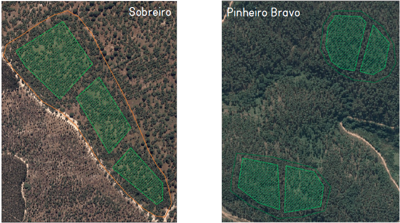
Satellite images of forest occupation
Example of Tesselo interface with available results
The first land cover maps and information on burnt areas were presented on a digital platform accessible to all members of the consortium. In the following stages, a biomass model and vegetation monitoring around infrastructures will be developed. These new technologies for forest knowledge will allow the collection of information and the evaluation of the current state of the forests