Forest and Fire
Management
Leadership
Sonae Arauco Portugal
Instituto Superior de Agronomia
Investment
2M€


Summary
The first strategic line is led by Sonae Arauco and Instituto Superior de Agronomia (ISA), School of Agriculture (Technical University of Lisbon) and has an investment of 2M€ to implement strategies that create processes, products and services in the forest and fire management.
Research is taken, on species/origins of Pinus spp that are more productive and better adapted to climate change, as well as new models of sustainable forest management for the main Portuguese forest species, in order to increase their productivity, resilience to fire and adaptability to climate change.
In addition, research work on digital and remote sensing technologies has been taken, allowing an advanced level of forest and forest biomass knowledge, at lower costs than the methods currently used.
This work area operates in the following items:
Implementation of strategies that creates processes, products and services in the forest and fire management.
Genetic improvement
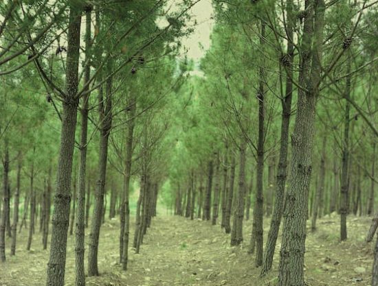
Genetic improvement of forest species will contribute to reduce fire risk and to increase the income of forest landowners.
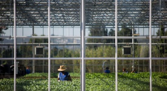
This area of expertise focuses on introducing Pinus spp., a more resilient and more productive specie, generating higher incomes and encouraging the reinvestment in the national forest..
que sejam mais resilientes, mais produtivas e que, através da geração de maiores rendimentos, possam fomentar o reinvestimento na floresta nacional.
In the last decades, the pine forest area has reduced in about 27%, due to fires, pests, diseases, and low productivity of the species caused by ineffective management practices. This low productivity blocks the reinvestment, increasing the risk of fire and jeopardizes the entire value chain.
With these challenges, there are no doubts about the importance of renewing the pine row with more resilient and more productive species.
Activities
The area of Genetic improvement will do the following activities:
Research forest species that are more productive and adapted to climate change
Introduce forest species on the market, increasing income generated by forest landowners
Forestry models and resilience
The focus of this area of activity is the development of silvicultural models that will improve the application of the best methodologies to enhance the forestry assets.
In Portugal, there are still many questions to answer about pine forests management, concerning to natural regeneration pine stands (ie, regeneration of trees resulting from fires or logging), such as “What is the ideal size of trees to be reduced?”, or “How to reduce the number of trees?”. In addition, more than 28 thousand km of overhead electric power lines are present in forest areas and part of this network integrates the secondary network of fuel management areas for passive protection of infrastructures and isolation of potential ignition sources.
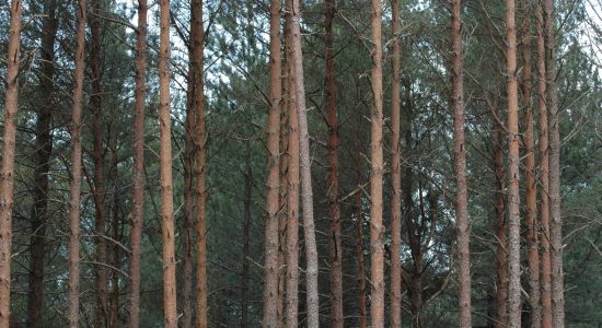
And this is how is born the need to develop new forestry models for different contexts to benefit natural regeneration of maritime pine stands.
Development of new silviculture models to benefit natural regeneration
Activities
The area of Genetic improvement will do the following activities:
Development of new silviculture models
Appreciation of the existing technical provisions in the applicable legal framework
Development of models for the management of vegetation in protection zones and fuel management areas for power lines
Creation of a technical manual to support the installation of new Pinusspp plantations
Creation of a technical manual to support the use and management of natural regeneration
Creation of a technical manual for vegetation management under overhead powerlines
Technology to forest knowledge
Allow more information to be collected, with lower labor costs.
Using new technologies for best known the forest, rePLANT will collect information and evaluate the current state of the forests, which represents the initial phase of adequate forest planning.
In Portugal, sensors and technologies are already used to complement, and sometimes replace, the ordinary way for forestry information (eg. sampling and measurement of parcels on the ground).
These new remote sensing equipment allow more information to be collected, with lower labor costs. In addition, there is also knowledge about data processing that supports decisions. Therefore, it is necessary to combine technology and existing knowledge, to apply them concerning the Portuguese forest. In addition, there is also knowledge about data processing that supports decisions.
Therefore, it is necessary to combine technology and existing knowledge, to apply them concerning the Portuguese forest.
Focus
Technology to Forest Knowledge area will focus on:
Creation of the Online Forest Occupation Map
Creation of potential biomass estimation maps
Collect specific forest information
Technology to forest inventory
This area of expertise will test the use of mobile apps for collecting dendrometric data to reduce significantly the costs associated with this process.
There is a growing interest about the development and use of smartphone apps for forest inventory, as they allow a very high simplification and automation of work. However, there is still a lack of evidence on the quality of measurements and estimates about the real costs and benefits of using these solutions in Portuguese eucalyptus and maritime pine stands.
Therefore, it’s important to gather sufficient evidence to support a more frequent use of this type of solutions.
Growing interest about the development and use of smartphones apps.
Activities
In this work area, rePLANT will do the following activities:
Adapt the existing solutions to the Portuguese forest approach
Real tests in pilot Portuguese areas
Compare measurements obtained using conventional techniques
Preliminary results
One year after the beginning of rePLANt, the I Technical Seminars were held, in which the project’s partners took stock of the activities carried out so far.
One year after the beginning of rePLANt, the I Technical Seminars were held, in which the project’s partners took stock of the activities carried out so far.
First approach to the forest occupation map
This line of action counted with the intervention of Tesselo and ForestWISE. A first approach to the forest occupation map was made using satellite images in real-time and, regarding the new technologies for expedite forest inventory, the results of the analysis of the applications and the next steps to be followed were presented.
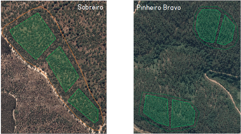
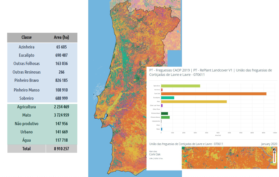
The first land cover maps and information on burnt areas were presented on a digital platform accessible to all members of the consortium. In the following stages, a biomass model and vegetation monitoring around infrastructures will be developed. These new technologies for forest knowledge will allow the collection of information and the evaluation of the current state of the forests
New technologies for expeditious forest inventory
ForestWISE CoLAB’s presentation was based on the forest inventory, a process that consists in evaluating what exists in the forest with a view to making a set of decisions. It is this work that allows us to know the number of trees or the amount of wood in an area, to understand its value. The conventional method is costly and requires specialized equipment and technical knowledge, but there are currently applications for cell phones, accessible to anyone, that allow the forest inventory to be done in a simple and less expensive way.
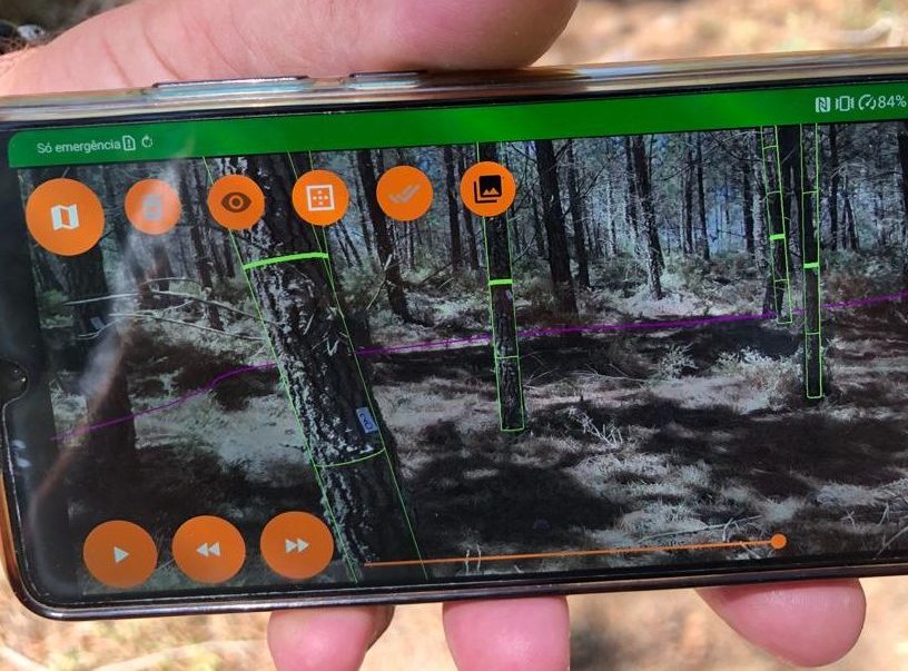
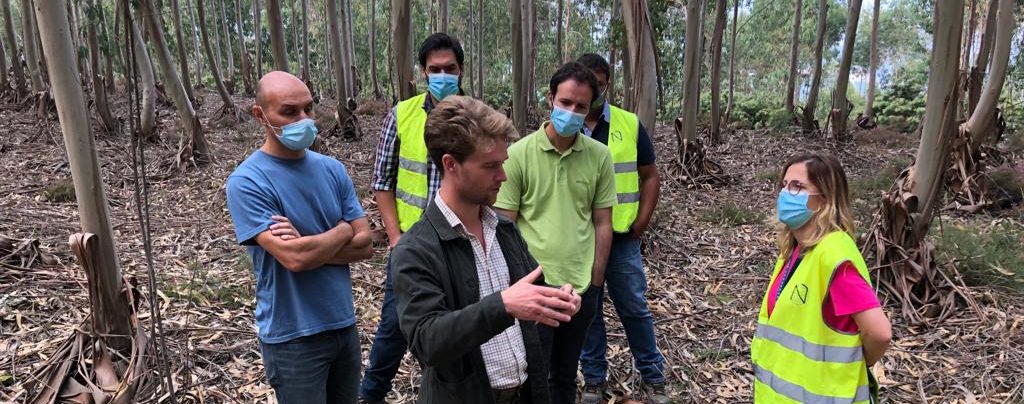
Thus, research was made on what already exists on the market, comparing with conventional methods in order to find those that can be used in our forests, accessible to forest owners and other agents.
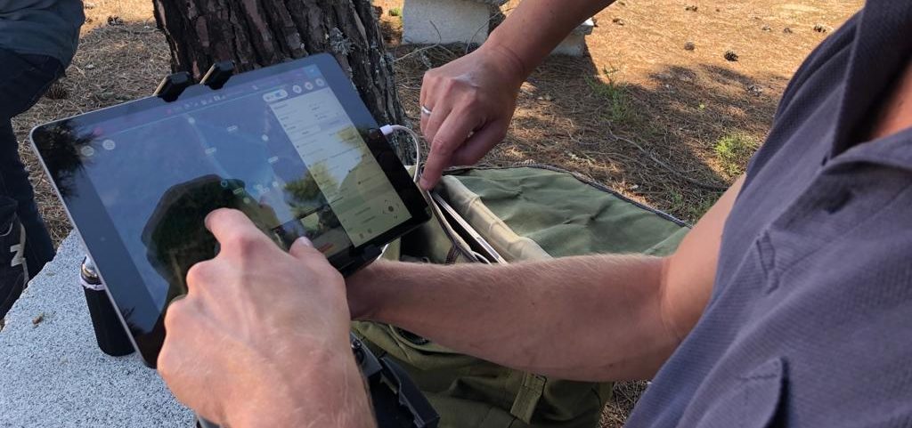
During these days there was a trial of data collection using KATAM with the presence of a technician from Sweden, as well as a demonstration, which allowed to understand the operation of the application and collect the first data to compare with conventional forest inventory processes.
